Cape Wrath Trail: Day 5 – Beinn Eighe to Shenavall Bothy
I awoke to midges attacking my tent and my knee continuing to grumble. It had screamed at me loud enough at one point during the night to wake me up. There was sod all I could do about either of these problems and so I packed everything I could from inside my tent and prepared to get eaten alive once more.
Following my escape from the midge cloud of doom I had a decision to make. I could climb up into the cloud and around the back of Beinn Eighe, where I had planned to camp the previous night, or I could follow the old Torridon road to Kinlochewe.
Between my knee and the cloud I chose to follow the road. There didn’t seem to be all that much point in doing a hard path with a dodgy knee when I wouldn’t even be able to see where I was. The road was not only the easier option, but being that bit lower down I could admire the views as I walked down the glen.
The midges were particularly bitey today. This made me glad to be walking along a small single track road rather than limping uphill. At least along the road I could outpace my midgey friends.
I was passed by maybe a dozen cars in the eleven or so kilometres to Kinlochewe, which made it quite a quiet walk into the village. I stopped at a small service station cafe for a cup of tea and a bacon bap. As I sat there I realised how tired I really was. I didn’t think I should be this tired less than a week into my journey. I hoped the food and drink would help make me feel human again.
The extra calories helped for the next couple of kilometres to the Heights of Kinlochewe, but the climb towards Lochan Fada saw me fade away. This was compounded by the knowledge that the walk between that and Loch an Nid was going to be a tough one. There was no real footpath to follow, but I managed to find a line to follow which had clearly been used by people before. It was going in roughly the correct direction and took me on the up part of this section surprisingly quickly.
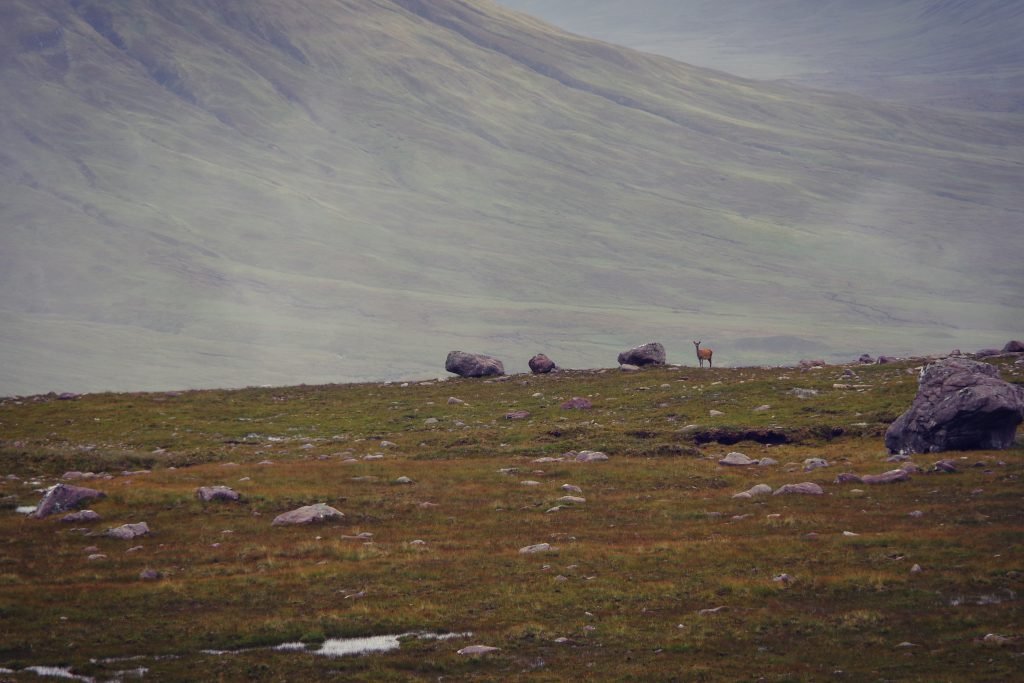
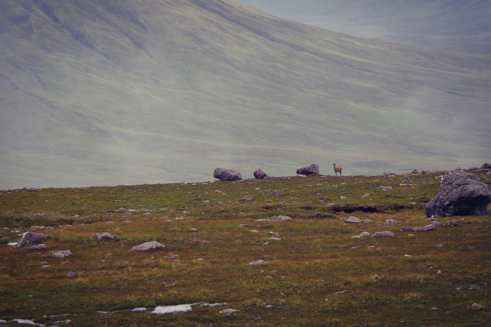
Keeping an eye on where this almost-path was going, I concluded it was heading towards the summit of the hill to my left. That was not a place I wanted to go, and so I took a sharp right, having already gained more elevation than I had anticipated. Here I found I had taken a wonderfully serendipitous little detour. I had a better view from where I was, and I had the chance to watch deer that I would have scared away had I been a little lower down.
I knew where I was when the cloud came down, navigating down a steep valley. It was, however, really easy to get disoriented as I needed to double back on myself more than once to find a safe route down. I knew I could easily end up heading down the wrong side of the hill. I resorted to GPS magic to help me keep my bearings and heading in roughly the right direction, although it did lead to me realising that I wanted to be a bit higher up at one point. Higher up meant either backtracking a way, or scrambling up some rock. I had fun scrambling up, but once I got to the top, I moved myself rather quickly from the edge, realising that perhaps I had not made my smartest move.
I picked my way from there safely down to Loch an Nid, and began the painstakingly tedious walk along slow, flat, boggy path to Shenavall Bothy. Whenever I looked up, I loved where I was. Unfortunately, I was spending too much time looking down; I was tired and my knee was clearly reminding me that it was unhappy.
I had made the last walk of the day more difficult for myself by discovering that the GPS function on my watch had an “as the crow flies” distance to my destination. This would have been great except for my path taking a roughly 90 degree left turn further on down the road. My watch read 5.5 km and that meant I knew I had a lot further to walk than that, because I could do the maths and because fuck Pythagoras.
As the afternoon turned to evening the sky cleared for the first time on my trip. It would have been a lovely evening to camp, but there was no breeze in this glen and the midges were ferocious. I chose another night in the bothy ahead of an evening being held captive in my tent and a morning being breakfast.
A couple were already occupying one of the rooms in the bothy. They were up from Bristol bagging Munros and they seemed friendly enough. I chatted to them for a bit. I must admit that I probably talked AT them as much as having a conversation. They told me that the next stretch of path was awful and it had taken them ages. It turned out one of them had also run a 50 mile race, although both of them thought that Quidditch was a silly sport, which it is. It was nice to at least attempt a proper conversation. I hadn’t exchanged more than a few sentences with people since the friendly train nerds on day one. Rather than bother them too much, I left them to the downstairs rooms and headed upstairs for an early night.

Today I learnt: That it is possible to go 30 hours without realising that your t-shirt is on inside out. I had put it on in Maol-bhuidhe, hadn’t taken it off at camp that night due to it being a bit cool, and only discovered my error when the sun came out briefly just past Kinlochewe. I had taken my waterproof jacket off and thought to myself “something’s not quite right here.” When I realised what I’d done and for how long I actually made myself laugh.
- Cape Wrath Trail – Part 1: Introduction
- Cape Wrath Trail: Day 1 – Glenfinnan to Sourlies Bothy
- Cape Wrath Trail: Day 2 – Sourlies Bothy to Kinloch Hourn
- Cape Wrath Trail: Day 3 – Kinloch Hourn to Maol-bhuidhe
- Cape Wrath Trail: Day 4 – Maol-bhuidhe to Beinn Eighe
- Cape Wrath Trail: Day 5 – Beinn Eighe to Shenavall Bothy


